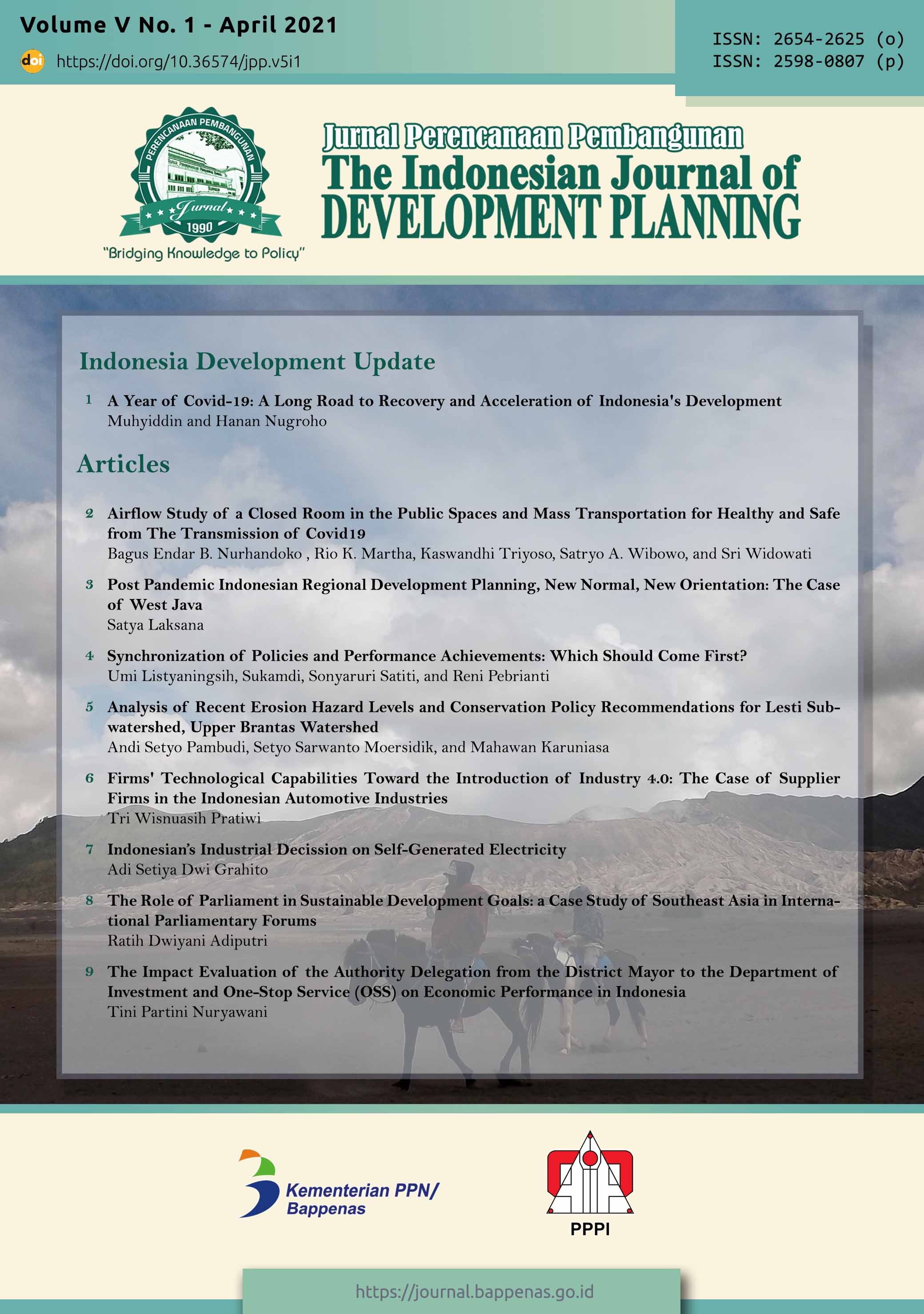
Analysis of Recent Erosion Hazard Levels and Conservation Policy Recommendations for Lesti Subwatershed, Upper Brantas Watershed
DOI:
https://doi.org/10.36574/jpp.v5i1.167Keywords:
conservation, erosion, population pressure, community behavior, watershedAbstract
The reduced age function of Sengguruh Dam/Reservoir due to erosion in the upper of Brantas Watershed (Lesti Subwatershed area) interferes with its role in flood control, irrigation water supply and the supply of most of the hydroelectricity in East Java Province, Indonesia. This study aims to estimate erosion, analyze the interrelationship of the causative factors and provides environmental conservation direction. The research method uses mixed methods. The quantitative method of erosion rates is done by calculating the Modify Universal Soil Loss Equation which is supported by GIS tools. The qualitative method is carried out with questionnaires and interviews in the Lesti Subwatershed area. The results showed that the current erosion rate in each ha of land (average) in the Lesti Subwatershed was 153,868 tons / ha / year (exceeding the tolerable erosion rate of 30 tons / ha / year). The rate of erosion in the Lesti Subwatershed has always increased in the last 14 years. Of the 12 Subdistricts in the Lesti watershed, as many as 6 Subdistricts are identified as having high levels of Erosion Hazards so that they were a priority to be handled, namely in the Wajak, Dampit, Tirtoyudo, , Gedangan, Sumbermanjing Wetan and Bantur Subdistricts. Dampit Subdistrict, Turen Subdistrict and Gondanglegi Subdistrict also face behavioral problems and high population pressure compared to other Subdistricts. Research also shows that there is a relationship between erosion and knowledge, attitudes and behavior of the community in the form of population pressure and land use patterns. It is recommended that environmental conservation directives focus on these 6 Subdistricts through the application of soil and water conservation. The results of spatial analysis at priority locations suggest conservation measures in the form of law enforcement or counseling, and community empowerment to increase the ability and independence of the community through providing access to resources, education, and training.
Downloads
References
Ariani, D.R. & Harini, R. (2012). Tekanan penduduk terhadap lahan pertanian di kawasan pertanian. Jurnal Bumi Indonesia. Volume 1, Nomor 3, Tahun 2012
Arsyad, Sitanala. (2006). Konservasi Tanah dan Air. Bogor : IPB Press
Asdak, Chay. (2010). Hidrologi dan Pengelolaan Daerah Aliran Sungai. Edisi Kelima (Revisi). Yogyakarta: Gadjah Mada University Press.
Bappenas. (2015). Kajian Pengaruh Kebijakan Konservasi Sumber Daya Air di dalam DAS Terhadap Sektor Kehutanan dan Sektor lainnya. Jakarta: Bappenas.
Bappenas. (2012). Kajian Analisis Perubahan Penggunaan Lahan di Ekosistem DAS dalam Menunjang Ketahanan Air dan Ketahanan Pangan, Studi Kasus DAS Brantas. Jakarta: Bappenas.
Bellfield, B., Leggett, M., Trivedi, M., Pareira, J., Gangga, A. (2016). How Can Indonesia Achieve Water, Energy and Food Security?. Jakarta: WCS and Global Canopy Programme.
Bisri M., Limantara L.M., Prasetyorini L., Chasanawati D. (2017). Application of the Kineros model for predicting the effect of land use on the surface run-off. Case study in Brantas Subwatershed, Klojen District, Malang City, East Java Province of Indonesia. Journal of Water and Land Development No. 35 p. 3–9. Polish Academy of Sciences (PAN) in Warsaw.doi:10.1515/jwld-2017-0062.
Common, M. & Stagl, S. (2005). Ecological Economic: An Introduction. New York: Cambridge University Press.
Djajasinga, V., Masrevaniah, A., & Juwono, P.T. (2012). Kajian Ekonomi Penanganan Sedimen Pada Waduk Seri Di Sungai Brantas (Sengguruh , Sutami Dan Wlingi). Jurnal Teknik Pengairan, Volume 3, Nomor 2, Desember 2012, hlm 143–152. E - ISSN : 2477-6068. P - ISSN : 2086-1761. Universitas Brawijaya, Malang.
Euler, J., & Heldt, S. (2018). From information to participation and self-organization: Visions for European river basin management. Science of The Total Environment, 621, 905–914. doi:10.1016/j.scitotenv.2017.11.072
Firdaus, W., Sayekti, R.W., Prasetyorini, L. (2015). Studi Penentuan Kinerja Kelestarian dan Sosial Pengelolaan DAS di Sub DAS Lesti. Jurnal Teknik Pengairan. E - ISSN : 2477-6068. P - ISSN : 2086-1761. Universitas Brawijaya, Malang.
Hardjowigeno S. (1995). Ilmu Tanah. Jakarta: Akademika Pressindo.
Heathcote, I. (1998). Integrated Watershed Management: Principles and Practice. New York: John Wiley & Sons.
Jeloudar, F. T., Sepanlou, M.G., Emadi, S.M. (2018). Impact of land use change on soil erodibility. Global Journal Environment Science Manage.,4(1): 59-70. DOI: 10.22034/gjesm.2018.04.01.006
Kindu, M., Schneider, T., Döllerer, M., Teketay, D., & Knoke, T. (2018). Scenario modelling of land use/land cover changes in Munessa-Shashemene landscape of the Ethiopian highlands. Science of The Total Environment, 622-623, 534–546. https://doi.org/10.1016/j.scitotenv.2017.11.338
Ma’wa, J., Andawayanti, U., Juwono, P.T.(2015). Studi Pendugaan Sisa Usia Guna Waduk Sengguruh dengan Pendekatan Erosi dan Sedimentasi. Jurnal Jurusan Pengairan Fakultas Teknik Universitas Brawijaya.
Nabi, G., Hussain, F., Wu, R.-S., Nangia, V., Bibi, R., and Majid, A. (2017). Optimizing micro watershed management for soil erosion control under various slope gradient and vegetation cover conditions using SWAT modeling. Hydrol. Earth Syst. Sci. Discuss., https://doi.org/10.5194/hess-2017-532.
Pambudi, A.S., Moersidik, S.S., & Karuniasa, M. (2020). Keterkaitan Perilaku Masyarakat dengan Penggunaan Lahan dan Erosivitas Limpasan Permukaan di Sub DAS Lesti, Kab. Malang (Relationship between community behavior with land use and surface runoff erosivity in Lesti Subwatershed, Malang District). Jurnal Penelitian Pengelolaan Daerah Aliran Sungai (Journal of Watershed Management Research). Vol. 4, No. 2 (2020). doi https://doi.org/10.20886/jppdas.2020.4.2.155-172
Pambudi, A.S. & Moersidik, S.S. (2019). Conservation direction based on estimation of erosion in Lesti Subwatershed, Malang District. International Proceeding IOP Conference Series: Earth and Environmental Science,Volume 399, The 1st International Seminar on Natural Resources and Environmental Management 2019. Published under licence by IOP Publishing Ltd. doi: 10.1088/1755-1315/399/1/012097
Pambudi, Andi Setyo. (2019). Watershed Management in Indonesia: A Regulation, Institution, and Policy Review. The Indonesian Journal of Development Planning, 3(2), 185-202. ISSN: 2654-2625 (Online) ISSN: 2598-0807 (Print). https://doi.org/10.36574/jpp.v3i2.74.
GoI. (2014a). Peraturan Presiden Nomor 2 Tahun 2015 tentang Rencana Pembangunan Jangka Menengah Nasional Tahun 2015 – 2019. Jakarta
GoI. (2014b). Undang-undang Nomor 37 Tahun 2014 tentang Konservasi Tanah dan Air. Jakarta
Reddy, V.R., Saharawat, Y. S., & George, B. (2017). Watershed management in South Asia: A synoptic review. Journal of Hydrology, 551, 4–13. doi:10.1016/j.jhydrol.2017.05.043
Rusli, S., Widono, S., & Indriana, H. (2009), Tekanan penduduk dan, overshoot ekologi pulau jawa, dan masa pemulihannya. Jurnal Sodalit: Jurnal Sosiologi Pedesaan. Vol. 3 No. 1 (2009). DOI: https://doi.org/10.22500/sodality.v3i1.5871
Sapci, O., & Considine, T. (2014). Evaluasi potensi degradasi lahan dengan menggunakan Analisis kemampuan lahan dan tekanan penduduk terhadap lahan pertanian di Kecamatan Kokap Kabupaten Kulon Progo. Forum Geografi , 1-12. Journal of Behavioral and Experimental Economics The Sartohadi J, P. F.
Setyawan C. & Lee,.C.Y (2017). GIS application for sediment delivery ratio assessment in tropical river basin. Journal of Scientific and Engineering Research, 2017, 4(4):116-122
Setyono & Prasetyo. (2012). Analisis Tingkat Bahaya Erosi Pada Sub DAS Lesti Kabupaten Malang Menggunakan Sistem Informasi Geografis. Media Teknik Sipil, Volume 10, Nomor 2, Agustus 2012: 114 – 127DOI: https://doi.org/10.22219/jmts.v10i2.1786
Soemarwoto, Otto. (1985). Ekologi, Lingkungan Hidup dan Pembangunan. Jakarta: Jambatan.
Soemarto, C.D. (1987). Hidrologi Teknik. Penerbit Usaha Nasional. Surabaya.
Suresh, R. (1993). Soil and Water Conservation Engineering. Nem Chand Jain, Delhi : Standard Publisher Distributors Nai Sarak
Utomo, Wani Hadi. (1994). Erosi dan Konservasi Tanah. Malang: IKIP
Yupi, Haiki Mart. (2006). Studi Model WEPP (Water Erosion Prediction Project) Dalam Upaya Pengaturan Fungsi Kawasan Pada Sub DAS Lesti Berbasis Sistem Informasi Geografi (SIG). Tesis: Universitas Brawijaya
Downloads
Published
How to Cite
Issue
Section
License
This is an open-access article distributed under the terms of the Creative Commons Attribution-NonCommercial-ShareAlike 4.0 International License. Copyright © Kementerian PPN/Bappenas RI


